Index of All Cemeteries Alphabetical Index of All Burials Previous Page
Use the following to search across all the cemeteries listed.
Example: "Smith, Roger" (yes, use the quotes)
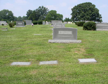
379 UNKNOWN [M50.2]
Location - Cape Fear Township. 80 feet in front of residence of John D. & Joyce M. Graham, 194 Wilson Court, 1,700 feet north of SR 1008, Beaver Creek Road
Coordinates: 35d 40m 58.0s N; 78d 59m 21.0s W Click here for Online Maps
The cemetery is shown on U.S. Army Corps of Engineers Property Map "Real Estate, B. Everett Jordon Dam and Lake, Project Map, Segment 4, Dwg, No. NHDBR-4, Sheet 4 of 20, 25 Sep 1967," but no deed reference is given since the property is outside of limits of property acquired for the B. Everett Dam and Lake. The cemetery was visited on 6 January 1997 by Will M. Heiser, accompanied by the property owners John and Joyce Graham and Staley Smith, Surveyor. The ground is covered with periwinkle and 8 sunken areas and 2 field stones were noted.
In the early 1900s, this land was part of the property known as the E. E. Wilson Place and it was later owned by Logan N. Womble and his heirs.
Owner: John D. Graham.
Legal Description: Deed Book 654-721, 9 Nov 1994, Joyce M. Graham to John D. Graham, Lot No. 4, Casablanca Subdivision, Plat 34-8.
Topo Quadrant: New Hill.
Family owned: Yes.
Abandoned: Yes.
Number of graves: 10.
Cemetery size: 40' x 30'.
Restricted access: Yes. Private property
Overgrown and easy to identify: Yes.
Enclosed: No.
Enclosed explanation: Ground covered with periwinkle.
Markers: Yes.
Markers with inscriptions: Yes.
Significant events: Property previously owned by E. E. Wilson, Deed Book FC-168, 1 May 1911; J. N. Womble heirs; Logan N. Womble heirs..
Miscellaneous information: Graves marked by 8 sunken areas and 2 field stones.
Last canvassed by: Will M. Heiser, w/ Owners and Staley Smith, Surveyor. Date: 6 Jan 1997.
Web page updated 8 June 2021
Index of All Cemeteries Alphabetical Index of All Burials Previous Page
|
|
 |