Use the following to search across all the cemeteries listed.
Example: "Smith, Roger" (yes, use the quotes)
- 009 ASBURY MEMORIAL CHURCH (Asbury Methodist Church)
 
Location - beside US Hwy 301 in Raynham NC about 4.8 miles south-west of intersection of I-95 and I-74.
Coordinates: 34d 34m 31.3s N; 79d 11m 34.1s W Click here for Online Maps
- 005 BRACEY FAMILY
Location - off Bracey Cemetery Rd (SR-2495) about 0.5 mile south of Hwy 301 (S Broad St.)
Coordinates: 34d 31m 24.4s N; 79d 17m 26.8s W Click here for Online Maps
- 002 BRIDGERS FAMILY
Location - on Purvis Rd, between NC Hwy 710 and US Hwy 301, Rowland.
Coordinates: 34d 34m 51.8s N; 79d 13m 33.3s W Click here for Online Maps
- 006 GOD'S HOLY ASSEMBLY CEMETERY
Location - off Fodiesville Rd (SR-1779) about 0.4 mile east of Old Lowery Rd (SR-1509) and east of Red Springs.
Coordinates: 34d 48m 55.0s N; 79d 07m 18.1s W Click here for Online Maps
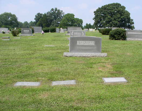
- 003 HOLLYWOOD CEMETERY (New & Old)
Location - on E. South Street bounded by Hollywood Dr, Lumberton.
Coordinates: 34d 36m 50.8s N; 78d 59m 21.2s W Click here for Online Maps
- 011 LUMBERTON CITY aka NORMENT CEMETERY
Location - north side of 5th street, between Sycamore St. and Willow St. in Lumberton.
Coordinates: 34d 37m 12.7s N; 79d 00m 05.9s W Click here for Online Maps
- 010 McCALLUM FAMILY
Locaation - off Townsendville Rd (SR-1130) about 4 miles from Alfordville and 7 miles from Rowland.
Coordinates: 34d 37m 01.8s N; 79d 21m 48.3s W Click here for Online Maps
- 007 OAK GROVE CEMETERY (Maxton)
Location - at the intersection of E. Wilmington St and Cemetery Rd, Maxton.
Coordinates: 34d 44m 13.4s N; 79d 19m 50.1s W Click here for Online Maps
- 001 ROWLAND CEMETERY
Location - on Rowland Cemetery Rd west of Rowland.
Coordinates: 34d 32m 16.5s N; 79d 18m 14.0s W Click here for Online Maps
- 008 WADE FAMILY
Location - in the south-east quadrant at the intersection of Hwy 211 and Old Allenton Rd. in a field.
Coordinates: 34d 35m 27.9s N; 78d 55m 32.4s W Click here for Online Maps
- 004 WARD FAMILY
Location - off Cotton Valley Rd a little north of Echo Rd, and about 1.2 miles south of Hwy 130, in a field about 300 yards off the west side of the road.
Coordinates: 34d 30m 05.3s N; 79d 16m 48.1s W Click here for Online Maps
Web page updated 25 February 2022
|
|
 |