Index of All Cemeteries Alphabetical Index of All Burials Previous Page
Use the following to search across all the cemeteries listed.
Example: "Smith, Roger" (yes, use the quotes)
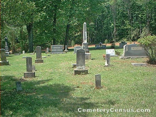
161 MCGEE CEMETERY
Location - McGee Rd, Mt. Airy, Surry Co., NC.
Coordinates: 36d 27m 17.9s N; 80d 34m 11.8s W Click here for Online Maps
Directions: From intersection of US Hwy 52 and US 601 in Mt. Airy, go south on US Hwy 52 S and exit right on Holly Springs Rd. At stop sign, turn right and then turn right on Old US 52, then left on Sheep Farm Rd (2173). Then turn left on McGee Rd. Drive a short distance and the cemetery is on the right.
Surveyed by Wilma Hiatt on May 4, 2006.
Township or district: Mt. Airy.
Public or Private: Private property.
GPS Accuracy (ft.): 10.
Elevation above sea level (ft.): 1152.
Status of cemetery: Well maintained.
This is one of the best landscaped small cemeteries in Surry County..
Web page updated 15 April 2021
Index of All Cemeteries Alphabetical Index of All Burials Previous Page
|
|
 |