Index of All Cemeteries Alphabetical Index of All Burials Previous Page
Use the following to search across all the cemeteries listed.
Example: "Smith, Roger" (yes, use the quotes)
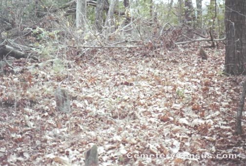
251 STOLTZ FAMILY CEMETERY
Location - 491 Bryant Mill Rd, Ararat, Surry Co., NC.
Coordinates: 36d 22m 09.9s N; 80d 33m 30.7s W Click here for Online Maps
Directions: From intersection of US Hwy 52 and NC Hwy 268, go west on NC 268 for 4.8 miles and turn right on Bryant Mill Road. Then go .7 miles to 491 Bryant Mill Rd on the left. The cemetery is in the woods behind 491 Bryant Mill Rd and must get owners permission to visit grave area.
View #2 of the cemetery. View #3 of the cemetery. View #4 of the cemetery.
Surveyed by Bob Carter on April 7, 2007.
Township or district: Eldora.
Public or Private: Private property.
GPS Accuracy (ft.): 28.
Elevation above sea level (ft.): 1019.
Status of cemetery: Abandoned.
This cemetery has old field stone and river slate markers only. STOLTZ (STULTZ) descendants say there are slave graves there as well..
Web page updated 15 April 2021
Index of All Cemeteries Alphabetical Index of All Burials Previous Page
|
|
 |